Listen "Melbourne, FL for 04-21-2024"
Episode Synopsis
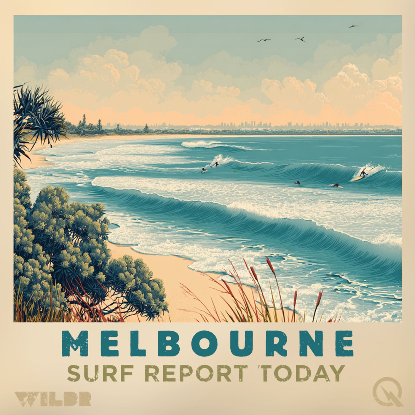
Good morning surfers and beachgoers! Welcome to your daily surf forecast brought to you by the National Weather Service. Let's dive into what the waves have in store for you in the Florida area today and for the coming days ahead.Starting off on this sunny Sunday, expect a moderate rip current risk with surf heights around 2 feet along with a very high UV index. So slap on that sunscreen and get ready to catch some waves with temperatures hitting the mid-80s. Winds will be coming in from the west in the morning, shifting to the southwest at around 15 miles per hour in the afternoon.Moving into Monday, the rip current risk decreases to low, but keep an eye out for possible showers and a slight chance of thunderstorms. Surf heights are expected to be between 2 to 4 feet with temperatures cooling down to the mid-70s. North winds will be blowing at 10 to 15 miles per hour.As we look ahead to Tuesday, expect mostly sunny skies with highs in the mid-70s and northeast winds around 10 miles per hour. Wednesday and Thursday will bring even more sunshine and warmer temperatures in the upper 70s to around 80 degrees with east winds around 10 miles per hour.For our friends in the Melbourne area, similar conditions await you with a moderate rip current risk, surf heights around 2 feet, and a very high UV index. Water temperatures will be in the mid-70s, perfect for a day out in the waves.So there you have it, surfers! Get ready for some fun in the sun with manageable waves and pleasant weather conditions. Remember to stay safe out there and keep an eye on changing tides. Until next time, hang loose and catch you on the next swell!This has been a Quiet Please Studios audio creation with the help of AI. Please subscribe and never miss a Swell! Thank you for listening.This content was created in partnership and with the help of Artificial Intelligence AI
More episodes of the podcast Surf Report for Melbourne Florida
Melbourne, FL Surf Report for 12-07-2024
07/12/2024
Melbourne, FL Surf Report for 12-06-2024
06/12/2024
Melbourne, FL Surf Report for 12-05-2024
05/12/2024
Melbourne, FL Surf Report for 12-04-2024
04/12/2024
Melbourne, FL Surf Report for 12-03-2024
03/12/2024
Melbourne, FL Surf Report for 11-16-2024
16/11/2024
Melbourne, FL Surf Report for 11-14-2024
14/11/2024
Melbourne, FL Surf Report for 11-13-2024
13/11/2024
Melbourne, FL Surf Report for 11-12-2024
12/11/2024
Melbourne, FL Surf Report for 11-10-2024
10/11/2024