Listen "Map Runa Run Trail"
Episode Synopsis
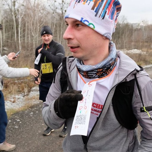
https://3speak.tv/watch?v=androshchuk/ggczisix At the weekend he took part in an interesting mountain race called "Runa Run Trail", the route of which passed through the Ukrainian Carpathians. Running a distance of 25 kilometers with an altitude of 1120 meters. I really liked the route of the race because the participants of the trail had the opportunity to run past a group of Lumshorsky waterfalls, climb to the highest point of Perechyn region - Polonyna Runa (1479 meters) and admire the mountain lake Velykyi Trusnya.
More episodes of the podcast androshchuk 3Speak Podcast
Mention of an interesting January trail race
19/02/2022
Winter Kalancha Trail
31/01/2022
Running season 2021
15/12/2021
Trail "Trypillya - Layers of Time"
01/11/2021
Map Palma Marathon
17/10/2021
Map Bila Tserkva Marathon
04/10/2021
Map Izmail Marathon
20/09/2021
Map Ucka Trail
15/09/2021
6-hour race route
02/09/2021